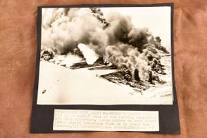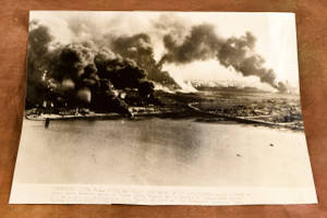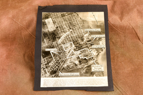


Original 1947 AP wire photo showing an annotated pre-disaster aerial view of Texas City, Texas, identifying major sites involved in the explosions and fires. Marked locations include the nitrate-loaded SS Grandcamp, SS High Flyer, Monsanto plant, Humble Oil storage tank farm, oil storage areas and residential areas. The caption is printed directly on the photo. Measures approximately 6½x7½ inches and is mounted on black archival paper. Typical newsroom/archive wear. Came from the archive of a Pittsburgh-area newspaper.