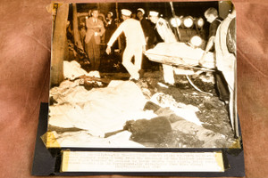
Original 1947 Associated Press wire photo reproducing a map of the route taken by the Eastern Airlines four-engine transport plane that crashed near Port Deposit, Maryland, killing all 53 people aboard. The map traces the aircraft's southwest course from Newark, New Jersey, past Philadelphia toward Washington, with the crash location marked near Port Deposit between Baltimore and Wilmington. The flight had departed Newark bound for Miami when it went down on May 30, 1947, in what was then the deadliest commercial aviation disaster in United States history. The caption is printed directly on the photo but is extremely light and difficult to read. An AP stamp is present on the back. Please note the tape on the corners and general wear from age and newspaper use. Measures approximately 5⅜ x 9 inches. From the archive of a Pittsburgh-area newspaper.