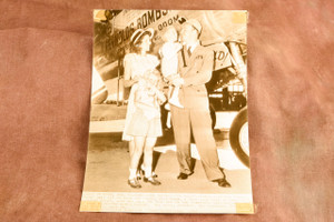
Original 1947 AP Wire Photo featuring a route map illustrating aviator Hilton Reynolds' planned round-the-world flight. The map traces the ambitious journey from New York through Gander, Europe, the Middle East, Asia, Alaska, and back to the United States. The caption is printed directly on the photograph. Mounted on black archival paper. Measures approximately 6¾ x 9¾ inches overall. Light age-related wear and minor handling marks consistent with age. From the archive of a Pittsburgh area newspaper.