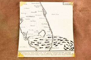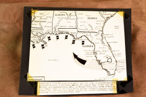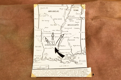


Original 1947 Associated Press wire photo map showing the course of a hurricane moving northwest from Baton Rouge, Louisiana, toward the Arkansas border on September 19, 1947. The map also indicates areas of heavy rain across northern Louisiana, Arkansas, and western Mississippi as the storm weakened, with winds expected at forty to fifty miles per hour.
The original caption is printed directly on the photograph. An AP stamp is present on the back. Please note the tape on the corners and general age-related wear. Measures approximately 5⅞ x 8¾ inches.
From the archive of a Pittsburgh area newspaper.
The original caption is printed directly on the photograph. An AP stamp is present on the back. Please note the tape on the corners and general age-related wear. Measures approximately 5⅞ x 8¾ inches.
From the archive of a Pittsburgh area newspaper.