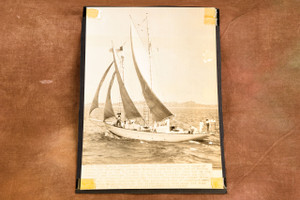
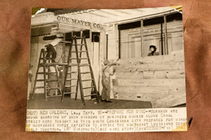
Original 1947 AP Wire Photo map dated September 16 showing hurricane-force winds centered north of Hopetown on Abaco as a tropical storm moved toward the Florida coast. The shaded offshore area marks gale-force winds, while the shaded Florida coastline indicates areas placed under hurricane alert. The map includes Miami, West Palm Beach, Fort Lauderdale, Jacksonville, the Bahamas, and surrounding Atlantic waters. The caption is printed directly on the photograph. Please note tape on the corners and age-related wear. Measures approximately 6¾ x 9⅜ inches. From the archive of a Pittsburgh-area newspaper.